
Michigan’s Upper Peninsula is one of those rare places where you can still feel completely off the grid in the best way possible.
With endless forests, quiet lakes, and rugged backroads, it’s a dream for anyone who loves the idea of dispersed camping and finding their own slice of wilderness.

This content specifically relates to free camping in the U.P. Of Michigan, north of Wisconsin, USA.
Wherever you camp, pack out what you pack in. Before you depart, have a look around to leave your camping space better than when you arrived.

“In Michigan you can legally camp for free on any State owned or National Forest land*.”
There are restrictions and this is called dispersed camping. State land is owned by the Michigan DNR and National Forests are owned by the USDA Forest Service.
Finding Free Camping in UP Michigan
Apps and websites like iOverlander and freecamp…net can be great in a pinch, but most recommendations will be busy and sometimes not ideal.
Do use Google Maps, Google Earth and Landgrid. They’re free!
Landgrid.com tells you who owns the land you’re looking at on Google Earth/Maps.
To find a free dispersed camping spot, start with Google Maps by finding a clearly mapped area like a National Forest.
Look for clearings with a fire ring, campfire ring within a pull off from the trail, or two-track dirt, gravel or sometimes paved road. The indicator is the fire ring, so often. Dispersed campsites are the best near water!
While zooming into specific areas using Google Maps, see if you can locate roads or two-tracks that lead to a spot.
Find the opening of the two-track road to a larger highway or main road that leads to your possible camp spot.
Drop a pin and copy/paste the coordinates into Landgrid.
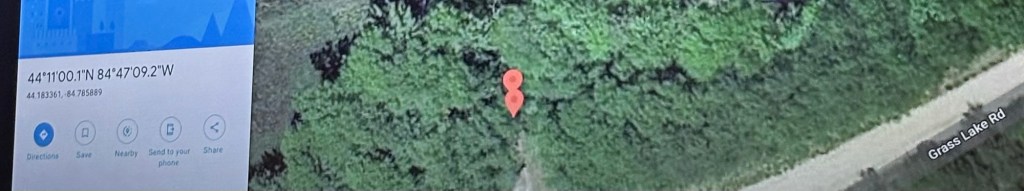
Check the owner name of the parcel where your camp spot is located to verify it is in fact State or NF property. Once you know it’s public land, switch back to Google Maps to find other potential dispersed camping spots nearby.
Take the copied coordinates from Google Maps of your potential camp spot and switch over to Google Earth and paste your coordinates. Look for clear “camped” openings with lots of trees and underdeveloped. Google Earth lets you look at defined 360 degree view of the topography and to look at the two-track road conditions. This is to be sure your vehicle can make it to the spot on the road and is the spot drivable.

Take a visit to the location and use the landgrid app on site if needed.
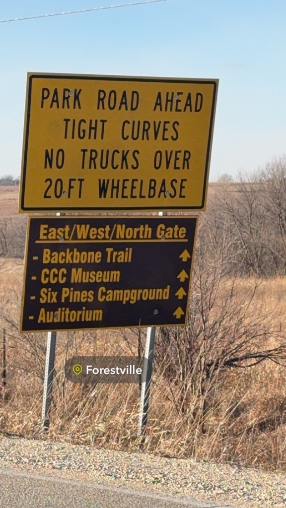
Sometimes proposed spots will have no camping or no vehicle signs on the two-track roads, these are no-go’s for free camping.
I’ve recently been interested in trying OnX Off-road as a tool for finding free dispersed camping, but this app does have a steep learning curve. An opportunity for learning!
Once you’ve made sure it’s safe and public, bring your gear and camp!

General Rules for Free Dispersed Camping
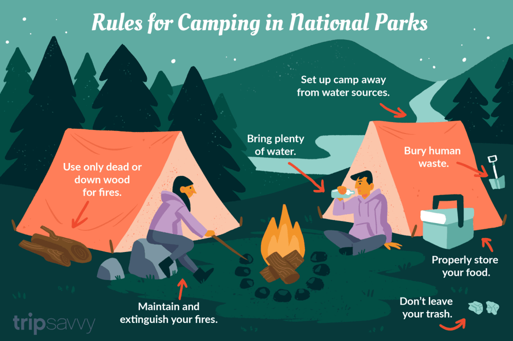
Before you pack up for your next trip to the U.P. Michigan, it helps to know a few basics about dispersed camping so you can keep the land wild and open for everyone. Across the U.S., a few simple guidelines go a long way:
- Camp at least 100 to 200 feet away from any water source.
- Pack out everything you bring in, including trash.
- Use existing fire rings when possible and always check local burn restrictions.
- Stay on established roads and durable surfaces.
- Limit your stay to around 14 days in one area.
Following these basics helps preserve the natural beauty of the U.P. for everyone who loves exploring it. If you want more information about finding dispersed camping, this video is a great place to start.


